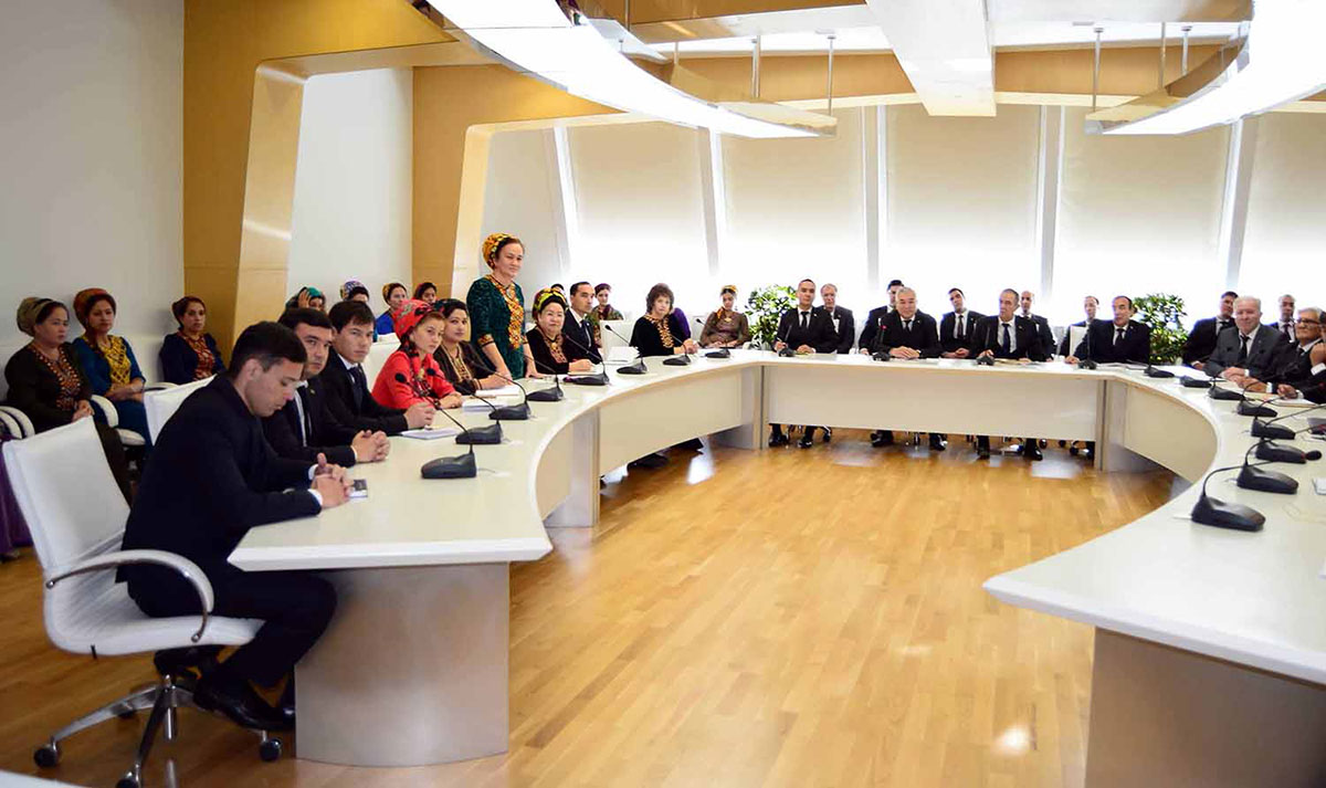
Scientific officer of the laboratory Myahri Annameredova noted during the meeting that transition to micro satellite is typical for space observation these days. Appearance of these apparatus, cost efficiency, variety of functions and innovative applications expand the capabilities of users significantly.
It was highlighted the micro satellite are widely used in ecological monitoring, geological and survey work, commercial shipping, cartography. Number of receiving stations operates all over the world. It was started in 1999 when prototype of small space ship for student experiments has been made in Stanford University. Later by 2014, former NASA engineers upend a company and launched 33 small satellites. By 2017, Indian Organization of Space Researches has launched more than 100 own satellites. According to the forecast, the number of satellites will increase up to 7,000 from 2018 to 2027. Operational period of the satellites exceeds 5 years.
Leading personnel of the laboratory spoke about practical implementation of GIS technologies. At present, electronic map of historical and cultural monuments of antic period is under development. The work is carried out in cooperation with National Department for Protection, Study and Restoration of historical and cultural monuments. The developers noted that electronic product is oriented to tourism industry.
Hamdam Rajabov made video presentation on this subject. The participants were able to make virtual tour to Old Nisa. These days, the scientists work on creation of 3D model f antic fortress studying historical documents as well as results of archaeological studies. The same work is planned to be carried out in Paryz-depe in nearest future.
Senior scientific officer of the laboratory of GIS technologies Nikolay Nikolayev, who deals with arrangement of ecological layouts of Turkmen section of Caspian Sea, has presented another direction. So-called binary maps allow analysing old processes of landscape changes. Similar work is carried out at the territory surrounding Turkmen Lake. Advanced methods of monitoring of vulnerability of the territories under conditions of anthropogenic and natural influence have also been presented.
Specialists of GIS laboratory develop international cooperation. In particular, partnership with colleagues from the Republic of Korea has been established. It is planned to have joint studies, scientific exchange and approbations of innovative instrument in conditions of Turkmenistan. Leading Scientific Officer Serdar Roziyev and Head of Laboratory Kakabay Annaniyazov explained that this is about technology of scanning of historical and natural facilities using mobile devices.
