

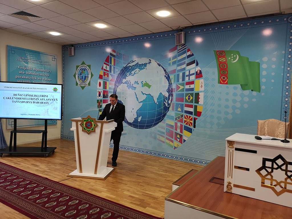
The representatives of the Institute of International Relations of the Ministry of Foreign Affairs of Turkmenistan, the Institute of the Caspian Sea, the Ministry of Defense of Turkmenistan, the Academy of Sciences and Magtymguly Turkmen State University addressed all those present.
Speaking during the V Summit of the Heads of the Caspian littoral states on August 12, 2018, President of Turkmenistan Gurbanguly Berdimuhamedov emphasized: “The region of the Caspian basin is, first of all, a unique archetype of relationships between the peoples living there, their traditions, cultures, spiritual values that has evolved over the centuries. Today, the importance of the Caspian Sea goes far beyond its geographical limits. It is rapidly becoming one of the key centers of geopolitical and geoeconomic processes ... "
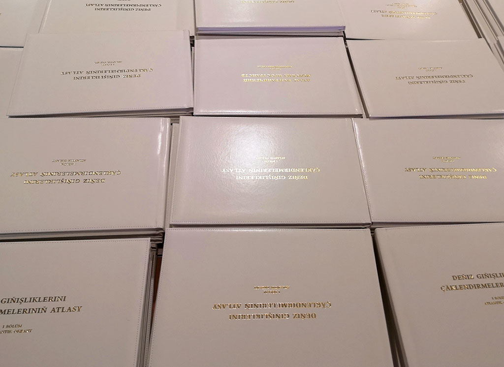
In order to prepare reference and illustrative, as well as to further study the issues related to the delimitation of marine areas, specialists of the Institute of the Caspian Sea and the Ministry of Defense of Turkmenistan, with the participation of specialists of the Department of Geography of Magtymguly Turkmen State University prepared “The Atlas of Delimitation of Marine Areas”.
The work consists of three parts: I - the Atlantic Ocean; Part II - The Arctic and Indian Oceans; Part III - The Pacific Ocean.
The Atlas presents the borders of territorial waters, adjacent zones, exclusive economic zones, continental shelves, fishing zones, zones of joint development of resources, etc. The dates of adoption of the documents and their titles are indicated in the publication.