


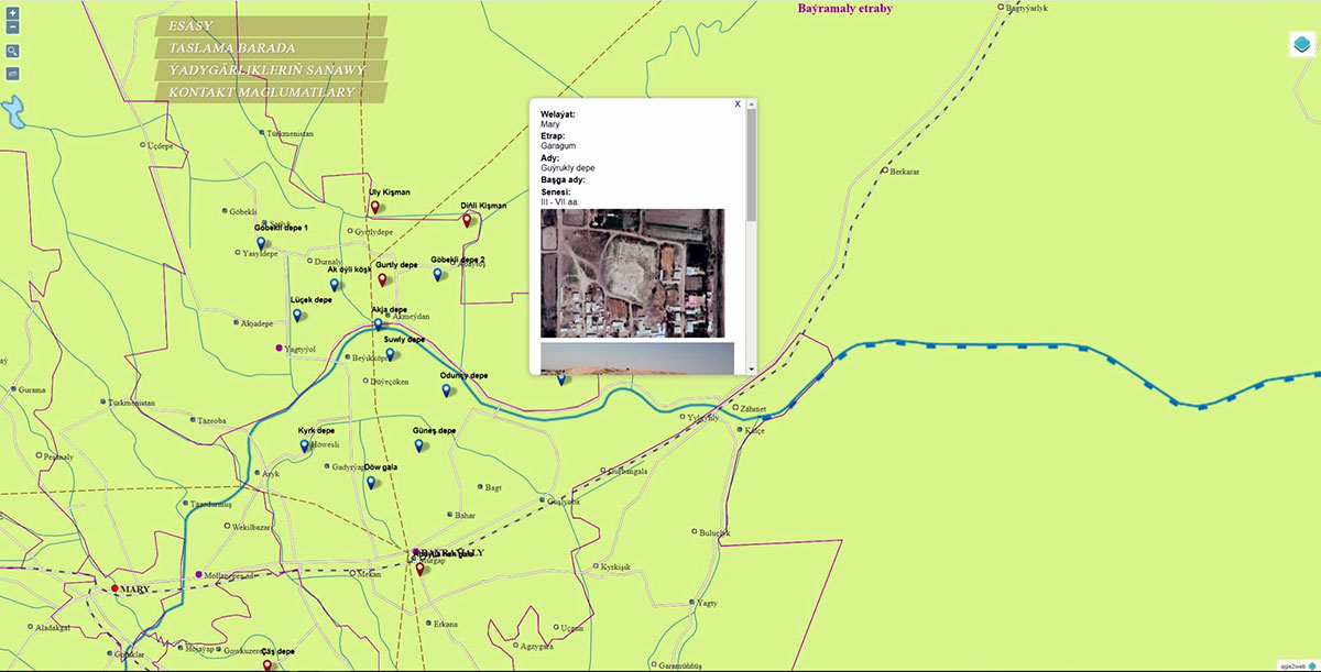
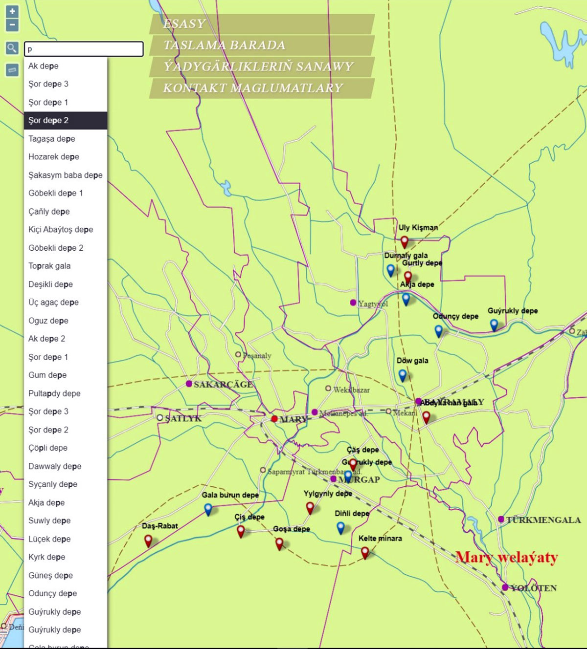
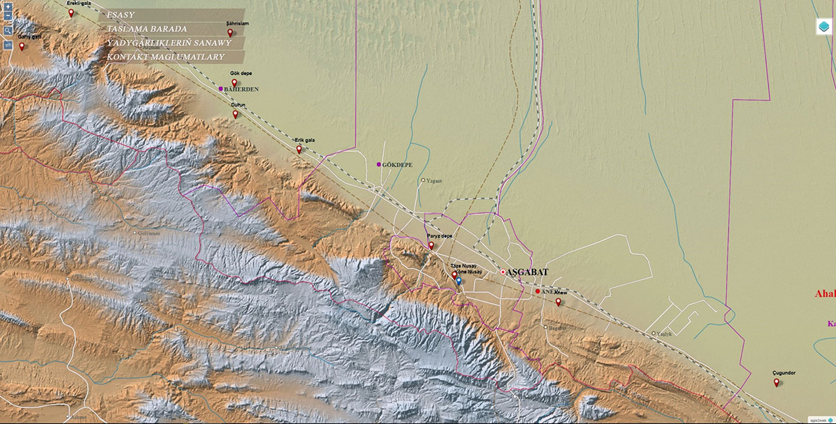
The State Intellectual Property Service of the Ministry of Finance and Economy of Turkmenistan issued a copyright certificate for the computer program No. 218 to a group of developers of the Laboratory of Geographic Information Systems (GIS) of the Technology Center of the Academy of Sciences of Turkmenistan. Scientists and specialists of this laboratory, using geographic information systems, created an interactive map of the archaeological sites of Turkmenistan, which displays objects of the Middle Ages and the ancient period located on the territory of the country. It is presented in the form of Internet pages containing information about the map, a list and textual description of archaeological sites, the interactive map itself, as well as contact information.
The digital interactive map contains information about the name of the monuments, their location (velayat, etrap), distance and direction to the etrap center, as well as photographs of sights. The interactive map shows in layers the settlements on the territory of Turkmenistan and in the border states, water bodies (rivers, lakes), roads, railways, the route of the Great Silk Road, a background with a relief and a background with satellite images. Generalization functions have been added to the map when zooming in / out, functions for moving around the map, switching layers and searching for objects by name. Some of the monuments have 3d display models (Nisa, Parzdepe), which open in separate tabs using the available links.