

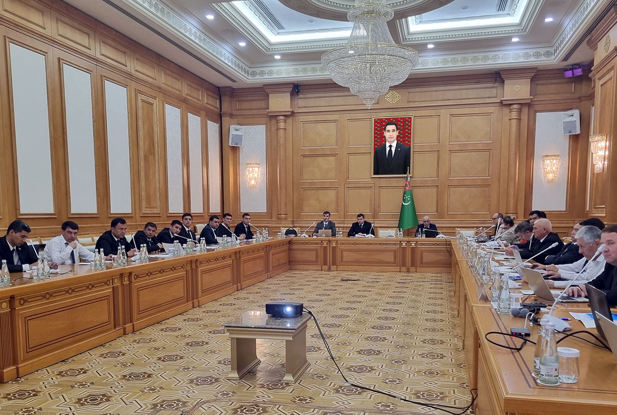
The first meeting of the partners of the joint two-year project of the Ministry of Agriculture of Turkmenistan, as well as the United Nations Food and Agriculture Program (FAO) "Promoting the strengthening of crop monitoring using remote sensing technology", which started earlier this year, was recently held in the conference hall of the "Arçabil" hotel in the capital.
Employees of the Ministries of Agriculture, Adalat (Justice), the State Concern "Türkmenpagta", the State Association "Türkmengallaönümleri", representatives of academic science and higher schools are invited to participate in innovative project activities.
Space-based monitoring of crop conditions is an innovation for Turkmenistan, so some preparatory work remains to be done. The context will focus on agriculture, however, the proposed technology can be used to check the state of water resources, salinization and waterlogging of pastures, the influence of climatic factors on the vital activity of ecological natural complexes, the condition of lands, and human activity without leaving the site. The interpretation of space shots will be aimed, first of all, at wheat and cotton, although it is considered the ability to connect other crops as sugar beets if the pilot area is located in the Murghab oasis.
It is planned to implement several components within the framework of the project: conducting a comprehensive analysis, developing a methodology that will combine traditional practices and modern methods, forming a monitoring system with all elements, and training of specialists in technologies and methods of handling various devices and satellite receivers. Meetings with foreign experts are planned for scientific exchange in the country, also trips of specialists from Turkmenistan to countries with an advanced level of development of such operations, including among them close to the natural and climatic local conditions. The training program includes a series of lectures and practical seminars with the prospect of offering a study of a similar GIS-technology in the higher education system.
For clarity, the audience was presented with an experimental monitoring web portal based on the Geoktepe etrap of the Akhal Velayat, which uses a color display system for the condition of agricultural land as of various days, for example, March 31. Delayed vegetation with the imposition of unfavorable weather, or sufficient vegetation of plants gives its reflection on the deciphered satellite images. The program is able to determine the type of crop, that is, that wheat is grown in the field, not barley. There are 180 plots in Geoktepe velayat where all kinds of crops are grown, for which it is possible to develop a scale of "normality" of plant development for comparative analysis.