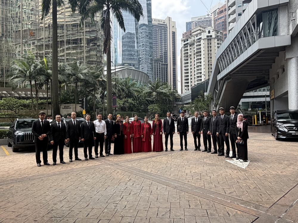


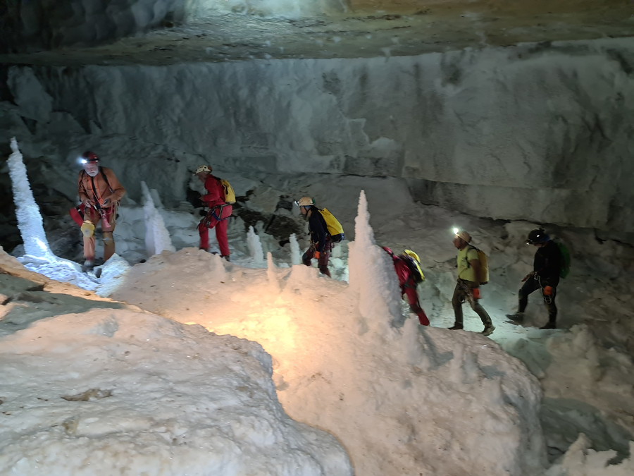
A group of cave researchers from the French Federation of Speleology visited Turkmenistan for more than twenty days with the assistance of the Ministry of Foreign Affairs and the Ministry of Environmental Protection of the country. This is their second visit, more numerous than last year. Working in two separate groups, 17 scientists representing various fields of speleology conducted high-tech measurements of karst cavities with the participation of specialists from the nature protection and scientific departments of the Koytendag State Nature Reserve (Lebap velayat).
 |
 |
 |
 |
 |
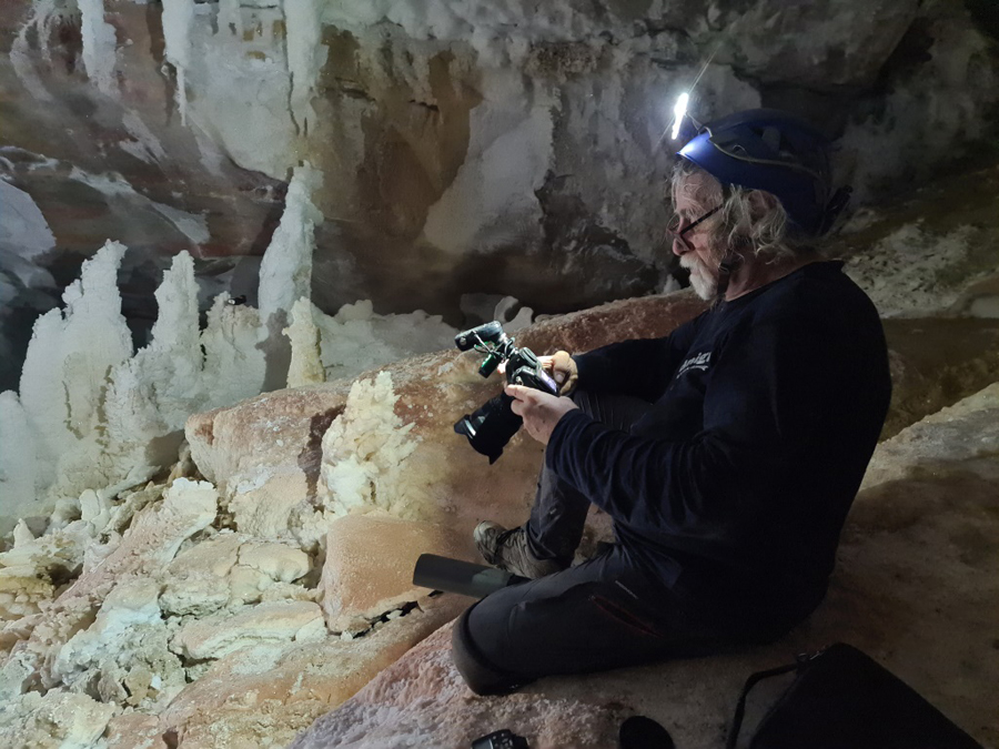 |
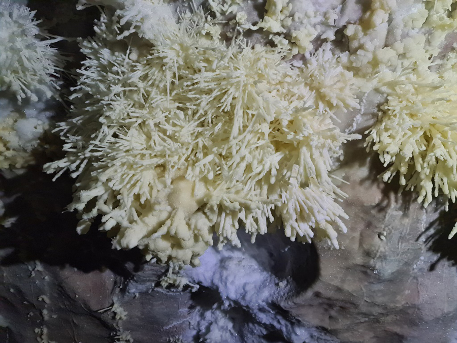
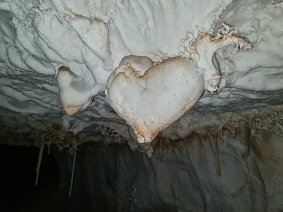
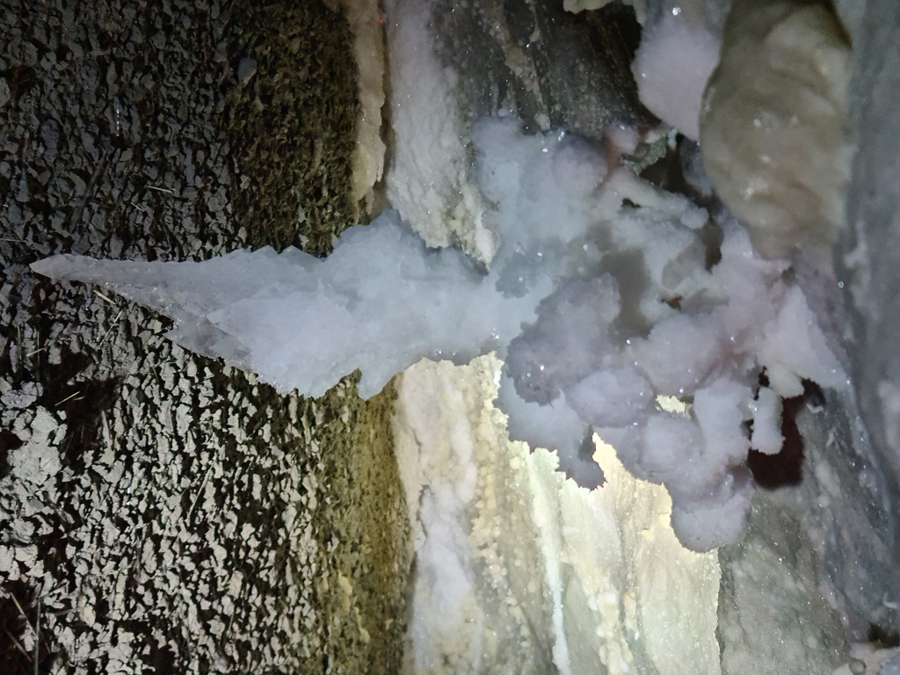
Karstology and hypogenic phenomena (sulfur wells that created gypsum concretions), geophysics, hydraulic fracturing, biocorrosion of caves were in the focus of attention of Philippe Audra and Jo De Waele - specialists in speleogenesis, mineralogy, geology, geomorphology, hydrogeology, geochronology, etc., as well as in the chemical formation of concretions. The guests noted that these studies will complement the work carried out in due time by Russian speleologists, primarily Vladimir Maltsev, as well as Mikhail Pereladov and other leaders of numerous long-term expeditions that took place in the second half of the last century, as a result of which many open kilometers of the Kapkutan system and other large caves were described and measured, including flooded and blocked by siphons, which had to be overcome by swimming with diving equipment. As is known, the topographic map compiled in the 20th century includes more than sixty linear kilometers of explored halls, passages, manholes, galleries and cavities located in several levels.
Today's scientists used more modern resources and evolving knowledge. Research in the field of biospeleology was continued, as a rule, at the entrance to the caves one can meet invertebrates, colonies of bats, rodents and in the lakes - fish, including the Kugitan (as Koytendag was previously called) blind loach, which inhabits the waters of deep sinkholes. The principle of this phenomenon can be compared to communicating vessels - the water here arrives and "settles" according to the seasonal amount of precipitation or for other little-studied reasons. Professional photography was carried out by Philippe Crochet and Annie Guiraud with the assistance of Brigitte Meyer-Berthaud, their work will form the basis of a high-quality book about Koytendag. The researchers announced their research plans in newsletters for 2024. In general, the results of the work - subsequent scientific reports will be provided to the Turkmen side for use in nature protection work, as well as as an addition to the UNESCO nomination file for Koytendag, work on which began in 2012. Such a contribution will be enriched with professional photographs and a film.
 |
 |
 |
 |
 |
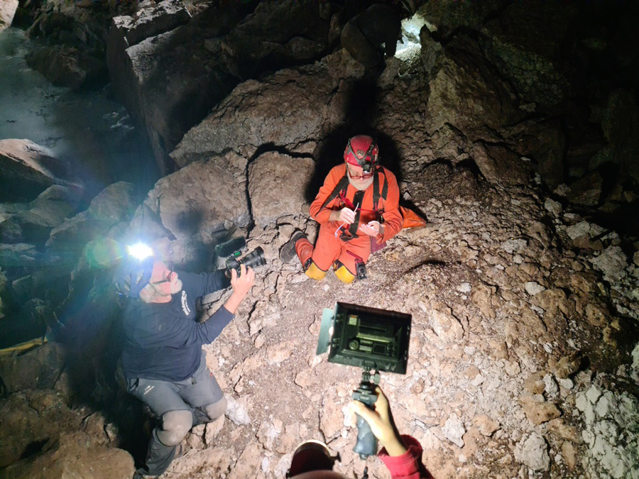 |
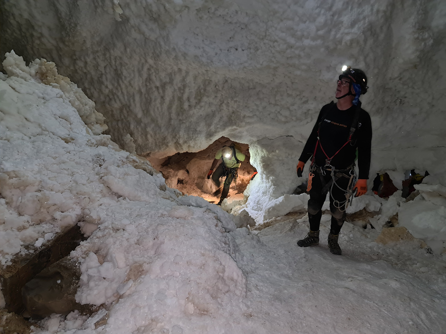
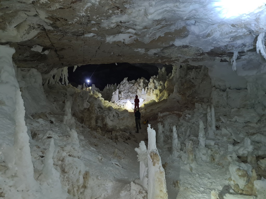
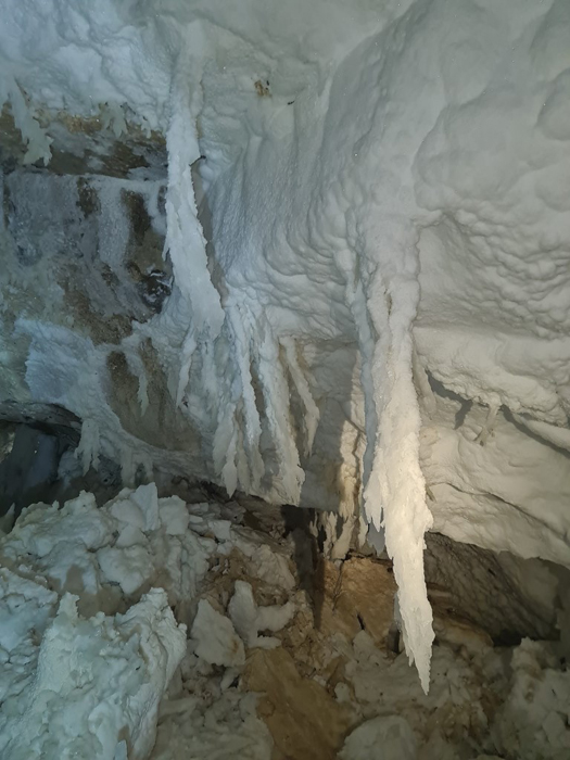
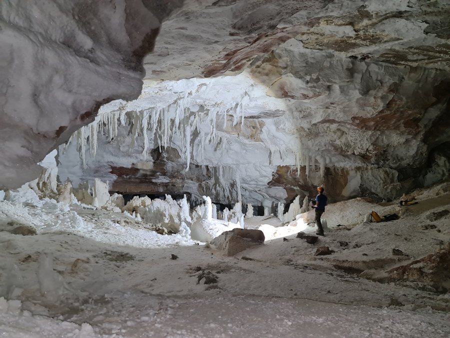
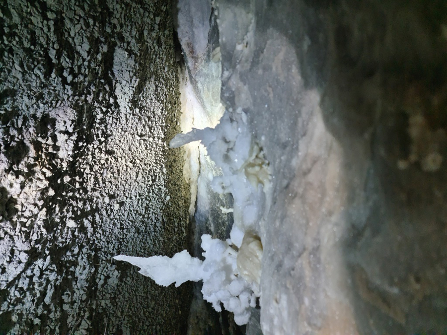
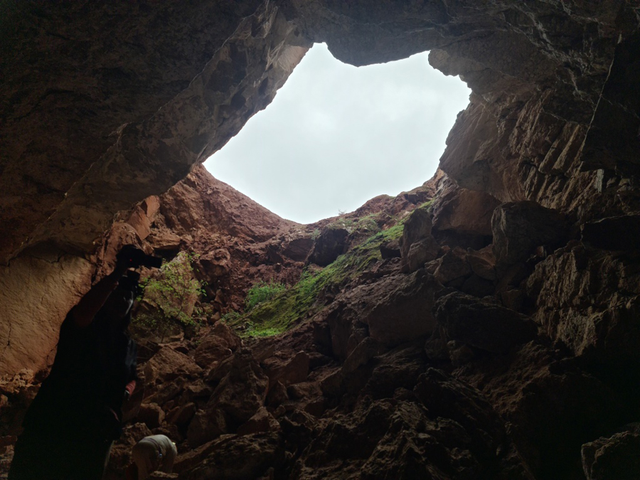
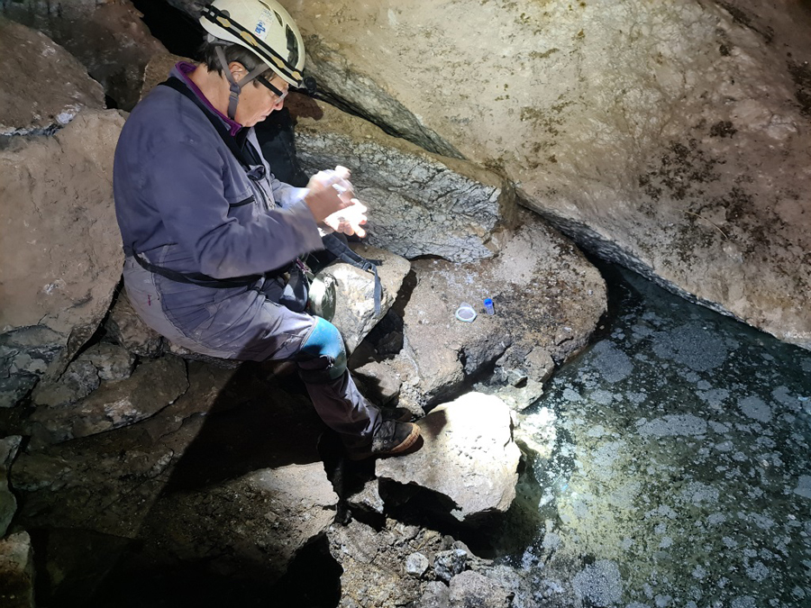
Underground mapping was carried out using laser rangefinders, necessary to supplement the scientific data, reports of speleological research of the past. This is the beginning of a long journey, because the work is painstaking and calculated for more than one year. A special computer program was used for a 3D representation of the most richly decorated concretion caves Geophysical and Hashim-Oyik, Gulshirin, Dash-Yurek, which will allow creating an animation for virtual tours of these caves. A separate team with mountaineering equipment conducted a search for new cavities with the participation of the head of the scientific department of the state reserve Shaniyaz Menliev, who knows the mountainous area well. According to him, sections of the Bulak-dere, Ab-dere, Daray-dere canyons up to 150 meters high were explored. The work included selection of geological samples - rocks, underground sediments and biomaterials for laboratory study. Speleologists worked in the caves - Geophysical, Hashim-Oyik, Vertical, Dash-Yurak, Kaptarana, Intermediate and Kap-Kutan. Caves providing access to underground rivers were checked, since there are corresponding outcrops of surface watercourses from south to north of the massif. This will enrich the understanding of the hydrological system of the massif, and will become important information for studying the water resources of the region. The connections between gypsum cavities and high karst were studied in order to substantiate the special nature of the karstology of Koytendag.