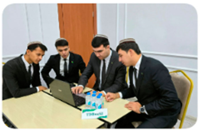
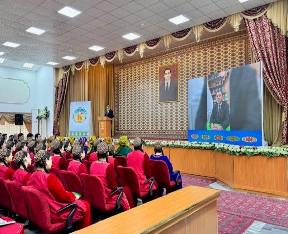
Samarkand State Veterinary University medicine, livestock and biotechnology and Turkmen agricultural institute organized a joint online training on the topic “Use of GIS technologies in compiling soil maps of irrigated areas".
The training was conducted by the head of the department of agricultural reclamation of the Turkmen Agricultural Institute Shatlyk Pygamov. In the event was actively attended by teachers and students two universities.
During the training session, participants discussed the effectiveness application of GIS technologies in compiling soil maps agricultural fields and methods of their creation. It was talked about the meaning and benefits of such cards, which provide new opportunities in agricultural industry. For example, they help to accurately determine the most productive areas of the field, as well as low-yielding areas requiring additional care. Based on this, the problem of introducing the correctly calculated amount is solved fertilizers into the soil, production costs are reduced.
Geographic Information Systems (GIS) are widely used in agriculture, they allow you to optimize collecting all kinds of data and using them for a variety of goals: from the development of precision farming and crop forecasting to monitoring livestock movements.
Participants in the online training also discussed in detail ways assessing the level of salinity of agricultural fields based on electrical conductivity of the soil extract and using modern equipment.
In conclusion, representatives of universities noted the effectiveness conducted training as one of the targeted activities, aimed at solving problems related to the development of digitalization agriculture, introduction of new technologies and increasing productivity in the agricultural sector.


